Less active than normal Atlantic hurricane season forecast
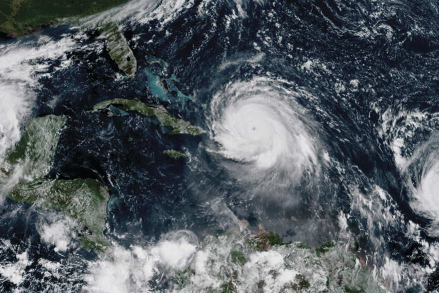
HAVANA, Jun 1 (PL ) The 2023 hurricane season in the Atlantic basin officially begins today and ends on November 30, with forecasts that it will be a less active cyclonic stage than normal.Although according to studies and statistics the last three months are the most dangerous and with the highest rate of storms, the calculations also highlight the probability that this year the tropical phenomena in this region (which includes the Atlantic Ocean, the Caribbean Sea, and Gulf of Mexico) will generate less ACE or accumulated cyclone energy.
According to the forecasts of the Forecasting Center of the Cuban Institute of Meteorology, 11 tropical cyclone systems are expected, seven will develop in the Atlantic oceanic area, two in the Caribbean Sea and the same number in the Gulf of Mexico, while five could reach hurricane category.
Specialists from that institution point out that the probabilities of at least one hurricane originating and intensifying in the Caribbean and of one of Atlantic origin penetrating the Caribbean are moderate, between 40-45 percent.
In this regard, the danger of Cuba being affected by at least one tropical cyclone with a hurricane category is 35 percent.
For the formation and development of these tropical systems, the high temperatures on the sea surface registered in recent months in the North Atlantic fringe and the Caribbean Sea are favorable.
However, the appearance of a new El Niño/Southern Oscillation (ENSO) event in the Pacific Ocean during the second semester could decrease the cyclonic activity in the current season.
They also ensure that the circulatory patterns of the lower and middle troposphere (up to six kilometers high) during the first four months of the year showed a similar configuration with cyclonic seasons with normal to little active behavior.
In the presence of an ENSO event, the atmospheric circulation between 10 and 12 kilometers high would be a limiting factor for tropical cyclone activity.
It is also observed at this time that the surface temperatures of the eastern and central tropical and subtropical Atlantic are warmer than normal, while the Caribbean waters are closer to normal values for these dates.
For the experts, the interaction of forecasters with the National Civil Defense System is extremely important, because the guidelines of this body are those that allow for reducing human and material losses, for which it has established four cyclonic phases: informative, alert, alarm and recovery.
In the current season, the first cyclone to form in the Atlantic will be called Arlene, followed by Bret and Cindy, in a list of 21 names.

